Much of the Hauraki Plains and Waihou Valley lies below sea level, which means flooding can occur from a combination of river flows, rainfall and tidal effects. The river catchment is 2144 square kilometres.
Early efforts to control flooding included the Waihou-Ohinemuri River Improvement Scheme by the Public Works Department, constructed between 1911 and 1928, and incremental building of stopbanks and drainage networks between the 1930s and 1960s.
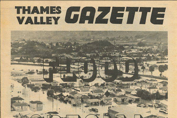
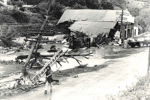
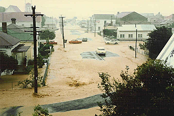
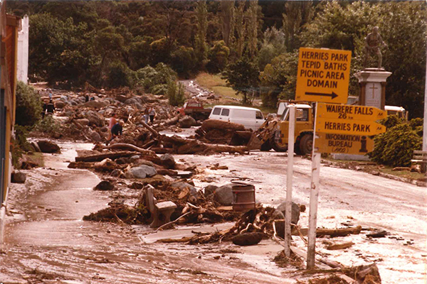
However, successive floods – in 1954, 1960 and especially 1981, when Paeroa, Thames and surrounding rural areas were inundated and more than 2000 people were evacuated – prompted the development of the modern Waihou Valley flood protection scheme, which was constructed in the 1980s and 1990s.
The scheme generally provides protection up to a 1% Annual Exceedance Probability (AEP), which is often called a “1-in-100-year flood”, but the level of protection varies across the scheme depending on location and asset.
The scheme was agreed to by the communities who benefit and mostly pay for it via targeted rates.
It is operated as part of an integrated flood system, including the Piako River flood protection scheme.
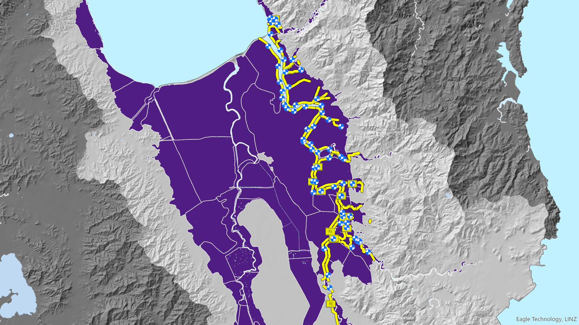
The yellow and blue areas on this map show the locations of assets that make up the Waihou Valley flood protection scheme. The purple areas indicate land that may be susceptible to flooding based on historical event records, flood modelling, flood protection and drainage scheme data, and elevation information.
Use our interactive flood protection and land drainage map to find out if there are any scheme assets protecting your area, or your favourite Waikato location.
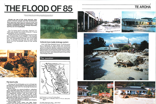
Successive floods prompted the development of the modern Waihou Valley scheme.