The scheme was constructed between the early 1960s and 1980s by the Waikato Valley Authority to provide flood protection to rural agricultural land in the Waipā and lower Waikato valleys, and to provide protection for the towns of Ōtorohanga, Huntly and Rangiriri, state highways and the main trunk.
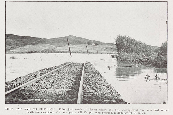
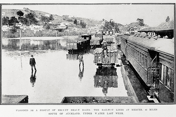
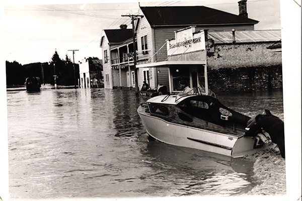
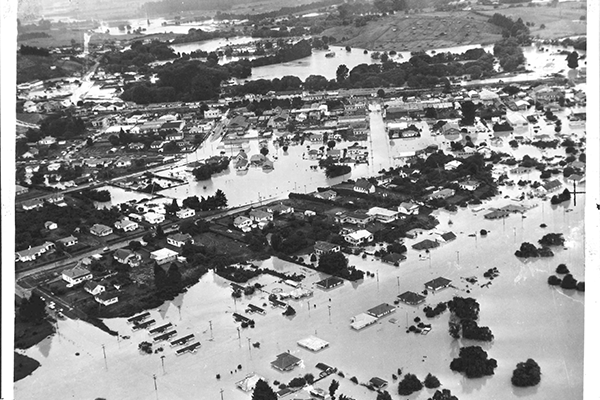
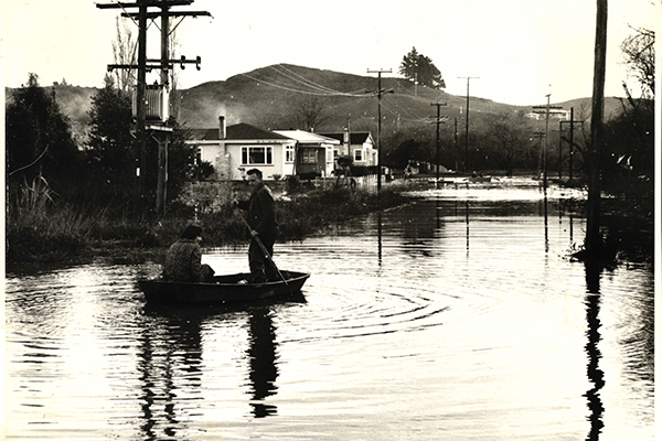
Historically, heavy flooding in this lower Waikato catchment area would inundate tens of thousands of hectares of land, causing major economic and social disruption. Of note were the floods of 1953 and 1958.
The scheme covers the Waikato River and tributaries from Hamilton to Port Waikato and the Waipā River at Ōtorohanga. (The assets that protect Ōtorohanga are owned and managed by the Ōtorohanga District Council.)
In general, the scheme is designed around a 1%, 2% or 10% Annual Exceedance Probability (AEP) for river flooding (often called a “1-in-100-year flood, a 1-in-50-year flood and a 1-in-10-year flood respectively), depending on location or asset, and a 1% AEP tidal event.
The scheme was agreed to by the communities who mostly pay for it via targeted rates.
Land protected in the lower Waikato catchment is estimated to contribute $166 million annually to gross domestic product (GDP).
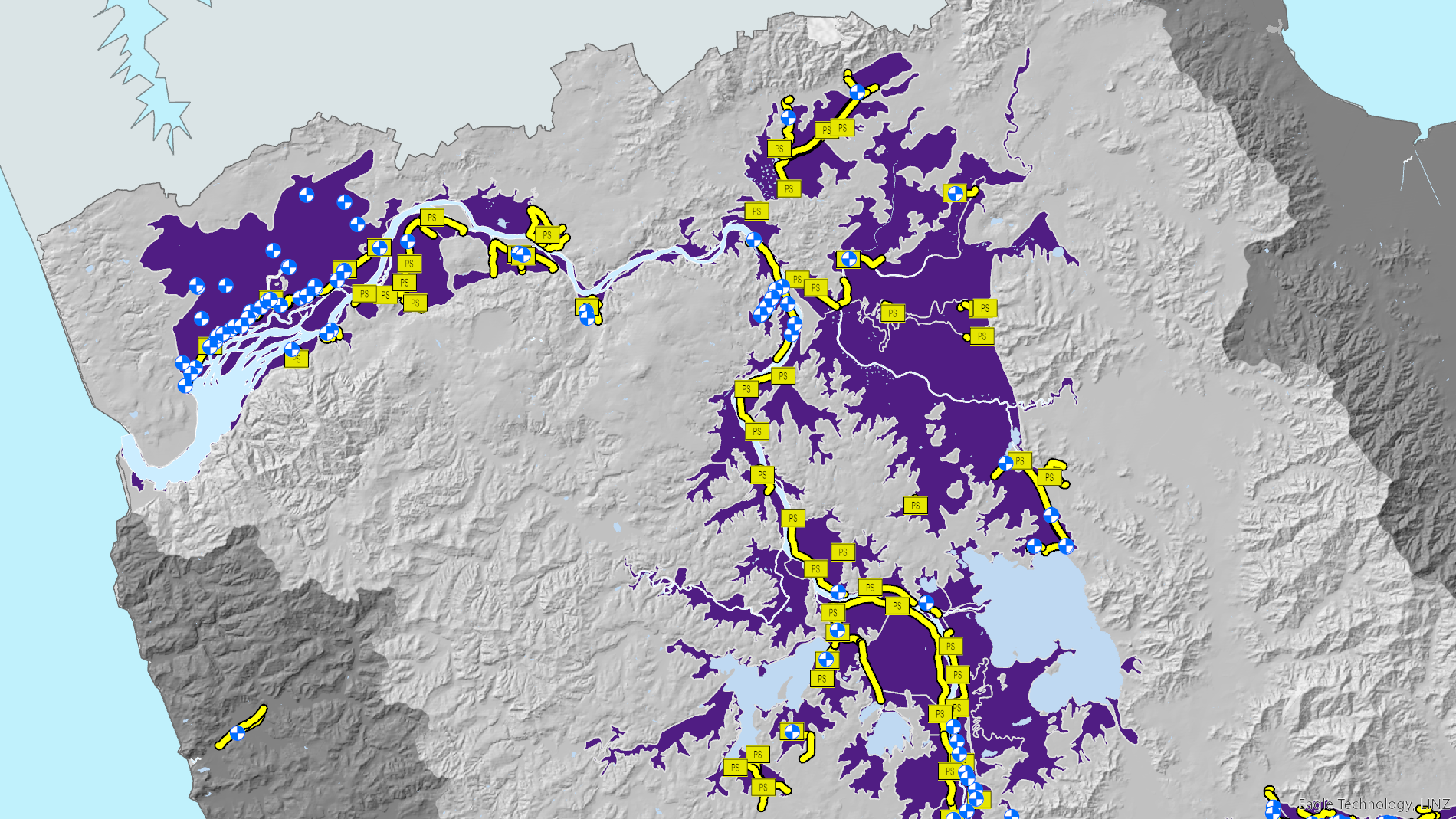
The yellow and blue areas on this map show the locations of assets that make up the Lower Waikato-Waipā flood protection scheme. The purple areas indicate land that may be susceptible to flooding based on historical event records, flood modelling, flood protection and drainage scheme data, and elevation information.
Use our interactive flood protection and land drainage map to find out if there are any scheme assets protecting your area, or your favourite Waikato location.
Historically, heavy flooding in this lower Waikato catchment area would inundate tens of thousands of hectares of land, causing major economic and social disruption.