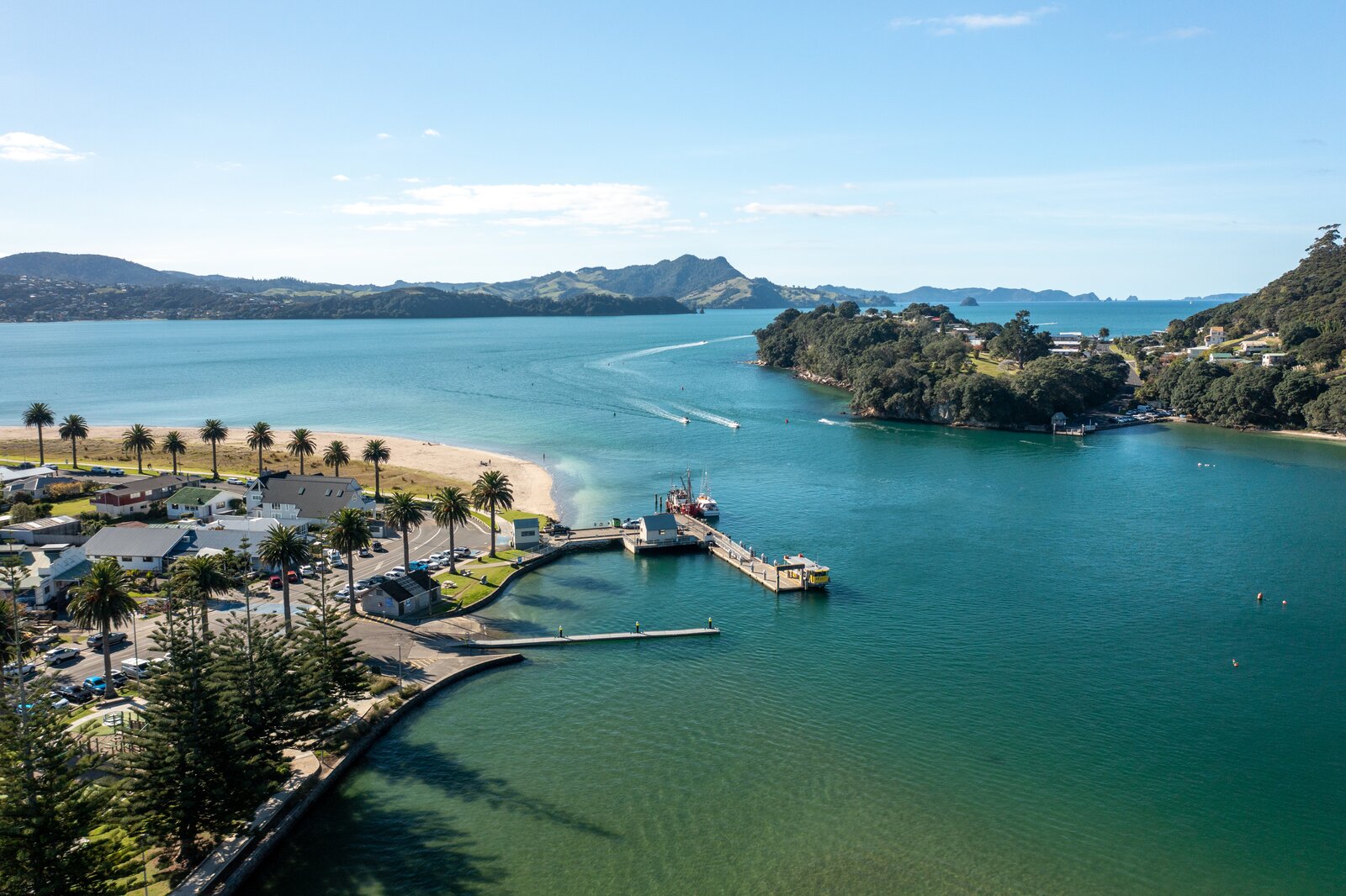
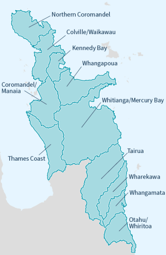
Well managed catchments that enhance economic and environmental sustainability, recognise community and cultural aspirations while mitigating natural risks.The Coromandel Peninsula is known for its beautiful ecosystems and contains a range of unique environments of significant natural, economic, social and cultural value. The Coromandel Catchment Zone (some 190,000+ hectares) extends from Tararu (just north of Thames), around the top of the Coromandel Peninsula to Whiritoa on the east coast of the peninsula. From the mountain ranges to the sea - the Coromandel Zone team works to identify issues that relate to our land, water and communities by integrating three key areas of work: flood protection; river and catchment management and pest control. We are continuing to work alongside tangata whenua, iwi trusts, landowners and communities to undertake works across the peninsula. |
|
Coromandel Zone Plan
The Coromandel Zone Plan provides the broad direction for the implementation of Waikato Regional Council's Integrated Catchment Management directorate activities within the Coromandel Zone.
Protecting our catchment and land management
Rivers and flood mitigation
Harbour catchment management plans
Zone news and information
Need help or advice?
Contact our Whitianga office
Office hours: Monday to Friday, 8am-4:30pm
Phone: 0800 800 401
33-35 Albert Street
Whitianga 3510
New Zealand