

Supporting farm planning in Waikato and Waipā catchments
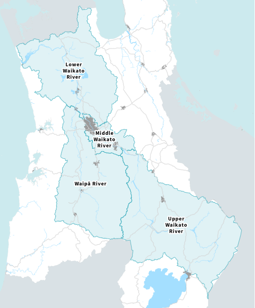
Waikato Regional Council is supporting farmers in the Waikato and Waipā catchments with farm planning by providing catchment information, including:
- unique characteristics of the local catchment, helping landowners understand how their farm’s natural features and farming activities may influence freshwater quality and ecosystem health
- landform and soil characteristics
- rivers, streams, lakes, wetlands and harbours within the catchment
- taonga (treasured) species present within the catchment
- environmental issues and management priorities, including erosion, water quality, biodiversity, and habitat restoration.
The development of this catchment information is ongoing. We anticipate that resources will also be developed for catchments across the remainder of the Waikato region.
Catchment information
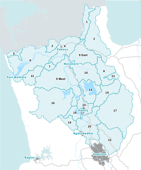

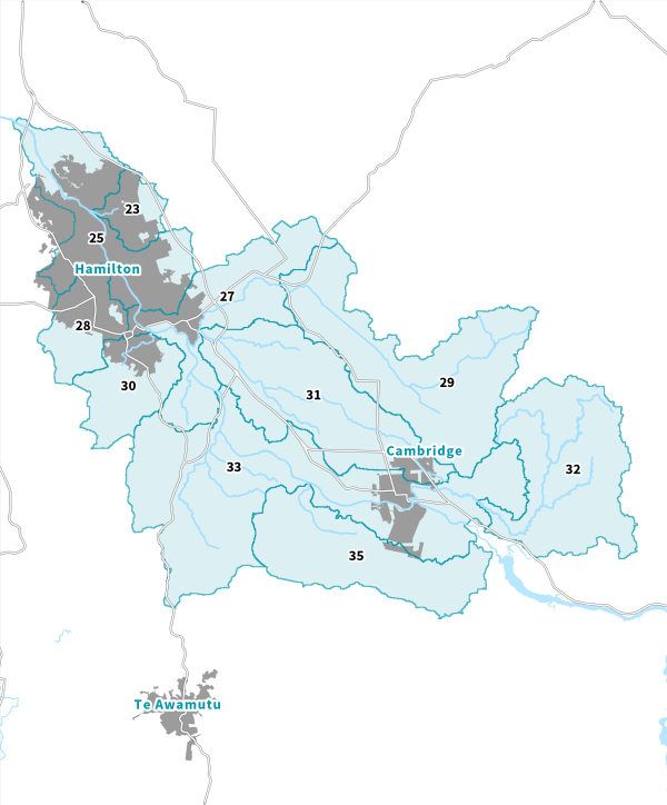
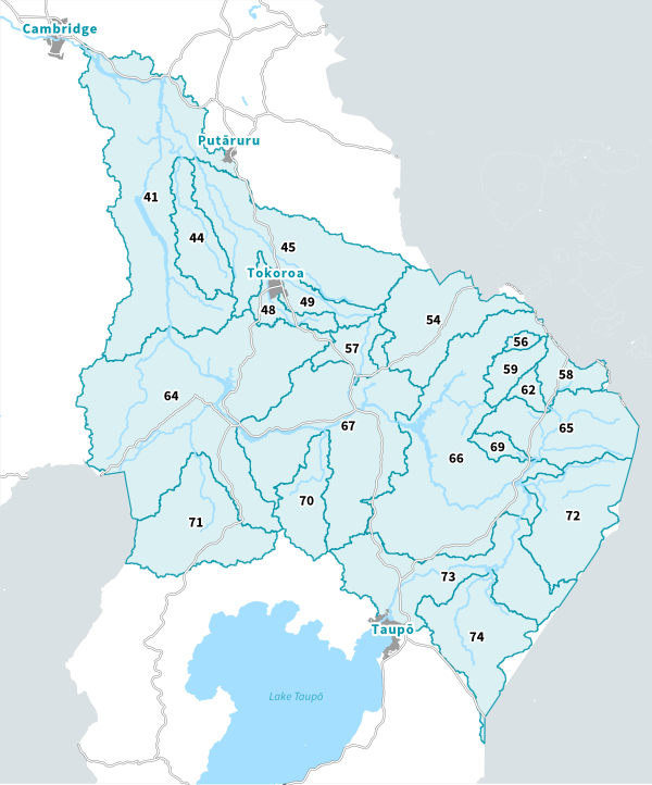
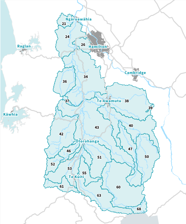
Developing catchment information
Two-page catchment information sheets were developed and prioritised for farmers and growers in Waikato and Waipā catchments to assist with farm planning.