
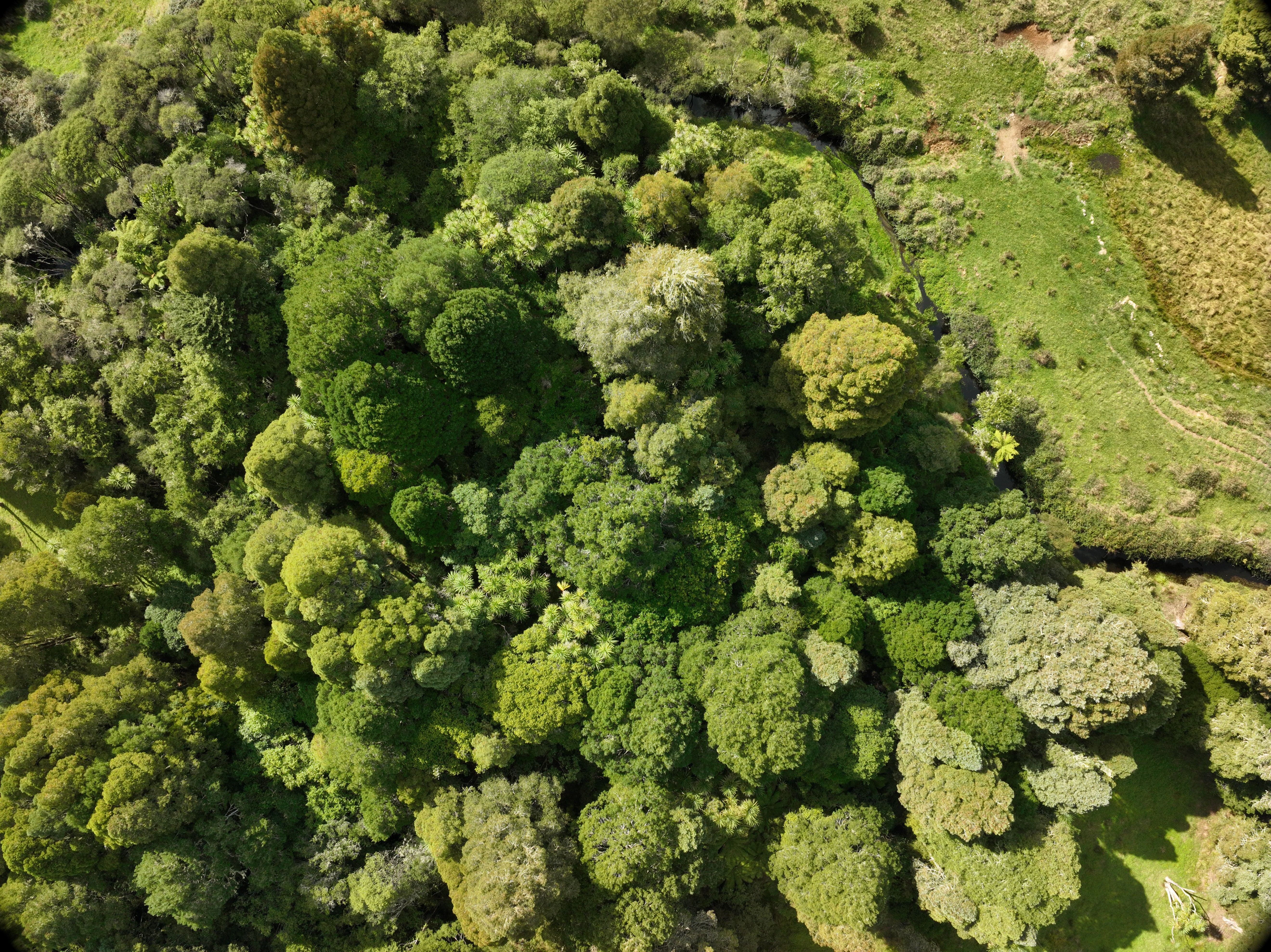
Drones are one of the tools Waikato Regional Council uses to collect information safely, accurately and efficiently when undertaking work. All drone flights are carried out by trained and authorised operators in accordance with Civil Aviation Authority (CAA) requirements and Waikato Regional Council procedures.
Flights are registered through AirShare, New Zealand's flight planning and information platform for drone operators.
Compliance, monitoring and enforcement (CME)
Waikato Regional Council's use of drones for compliance purposes is governed by relevant legislation and operational procedures. Section 332 of the Resource Management Act 1991 grants authorised officers the powers of entry to "go on, into, under or over any place or structure, except a dwellinghouse, for the purpose of inspection".
Drones may be used to capture photographs and video to help:
- monitor compliance with resource consents
- investigate environmental incidents and complaints
- record site conditions and environmental effects
- support regulatory investigations and enforcement activities.
The information collected is stored securely and used to support council operations, investigations and regulatory decisions. Where appropriate, the information may also be used as evidence in prosecutions or proceedings before the Environment Court and often improves investigation outcomes.
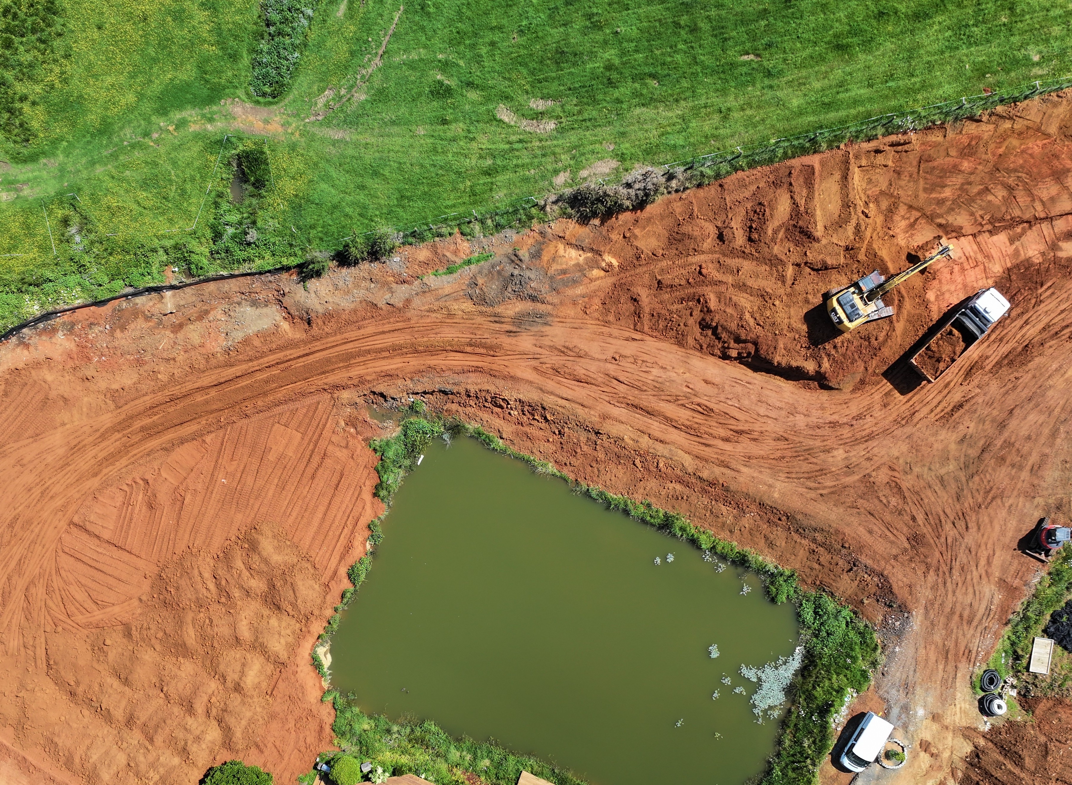 Drones may be used to monitor compliance with resource consents.
Want to know more?
For more information about drone use for compliance, monitoring and enforcement, email incident.response@waikatoregion.govt.nz or call 0800 800 401.
Integrated catchment management
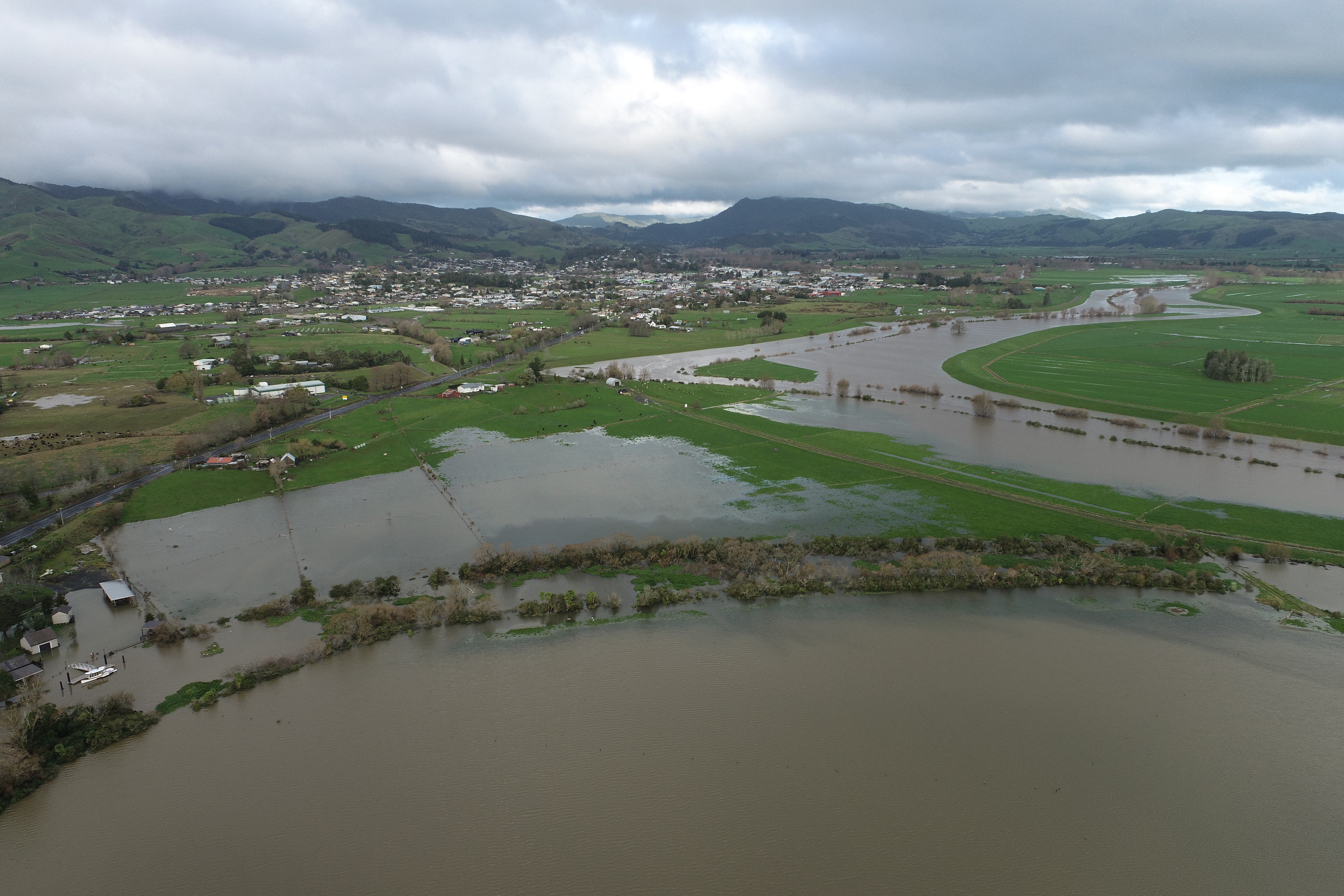 Drone imagery is valuable after flood events.
Drones provide a broader view of catchments, helping identify erosion, bank instability, river blockages, vegetation issues, and other changes that may be difficult to see from the ground.
Drone imagery is valuable during and after flood events. It enables rapid assessment of flooding, erosion, sediment movement and land instability across affected areas, helping inform response, recovery and future management decisions. Drone imagery is also used to monitor project outcomes, including planting establishment and survival. It provides a valuable visual record for tracking change over time and communicating project achievements to landowners, communities, partners and funding organisations.
We also use drones to review our flood protection assets as part of our maintenance and renewal programme, looking at areas of damage and taking photos of project progress.
Biosecurity
Drones help us improve biosecurity outcomes, target resources more effectively, and protect the Waikato region's natural and productive environments. They are increasingly being used to support biosecurity programmes by helping detect, map, monitor and manage pest plants and animals across the region. Drones provide a safe and efficient way to survey large, remote or difficult-to-see or access areas and collect repeatable high-resolution imagery, supporting informed-decision making and operational planning.
Drone technology may be used to:
- detect pest plant infestations in wetlands, waterways, forest and remote locations
- provide detailed mapping of pest plant infestations, for example, of alligator weed and Mexican waterlily in waterways, and wilding conifers in shrubland or forested areas, allowing control efforts to be more accurately targeted
- support wallaby surveillance and control, by using thermal imaging technology.
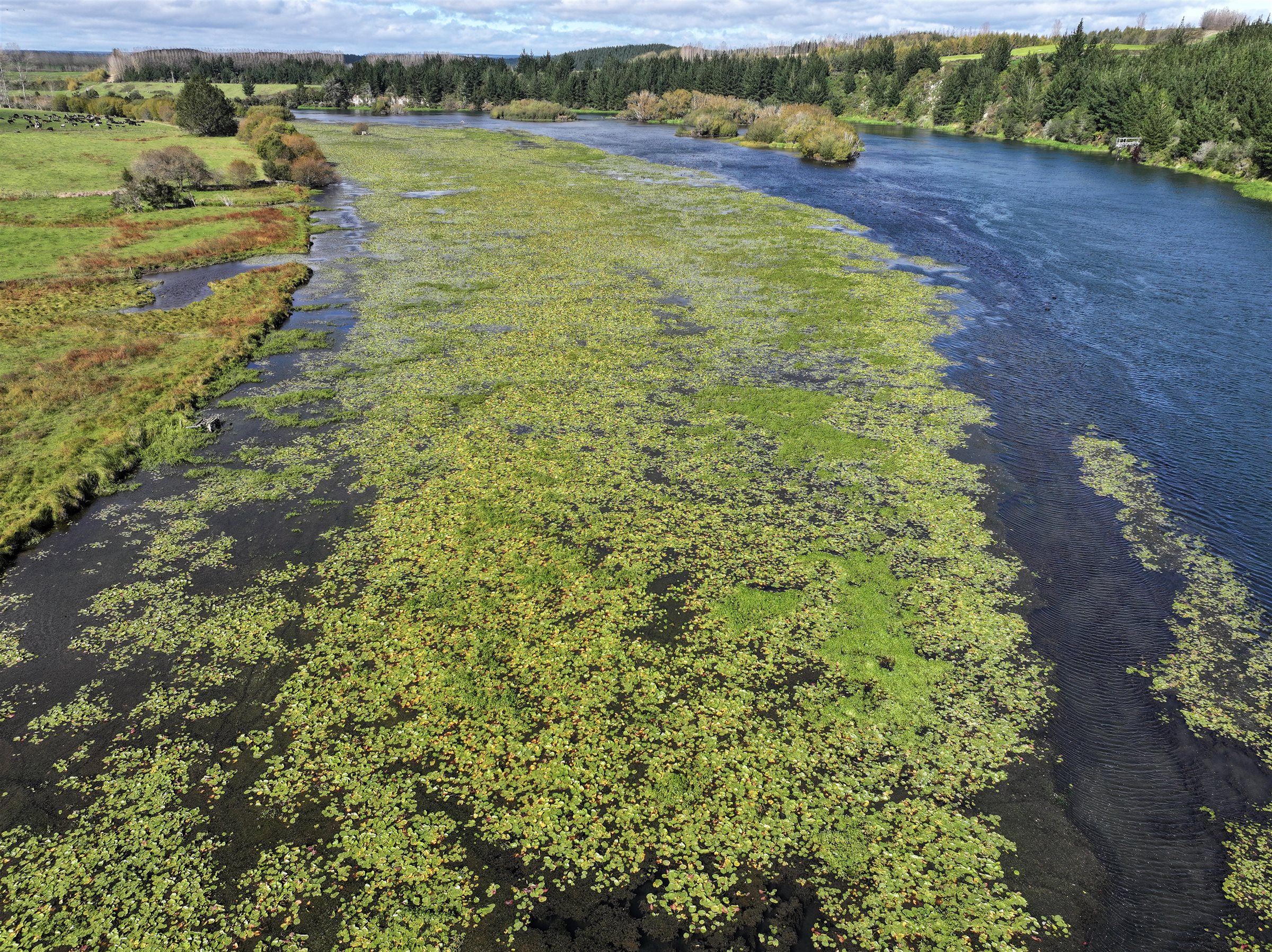 Drones help survey large, remote or hard-to-access areas for pest plants, including along rivers.
Science and environmental monitoring
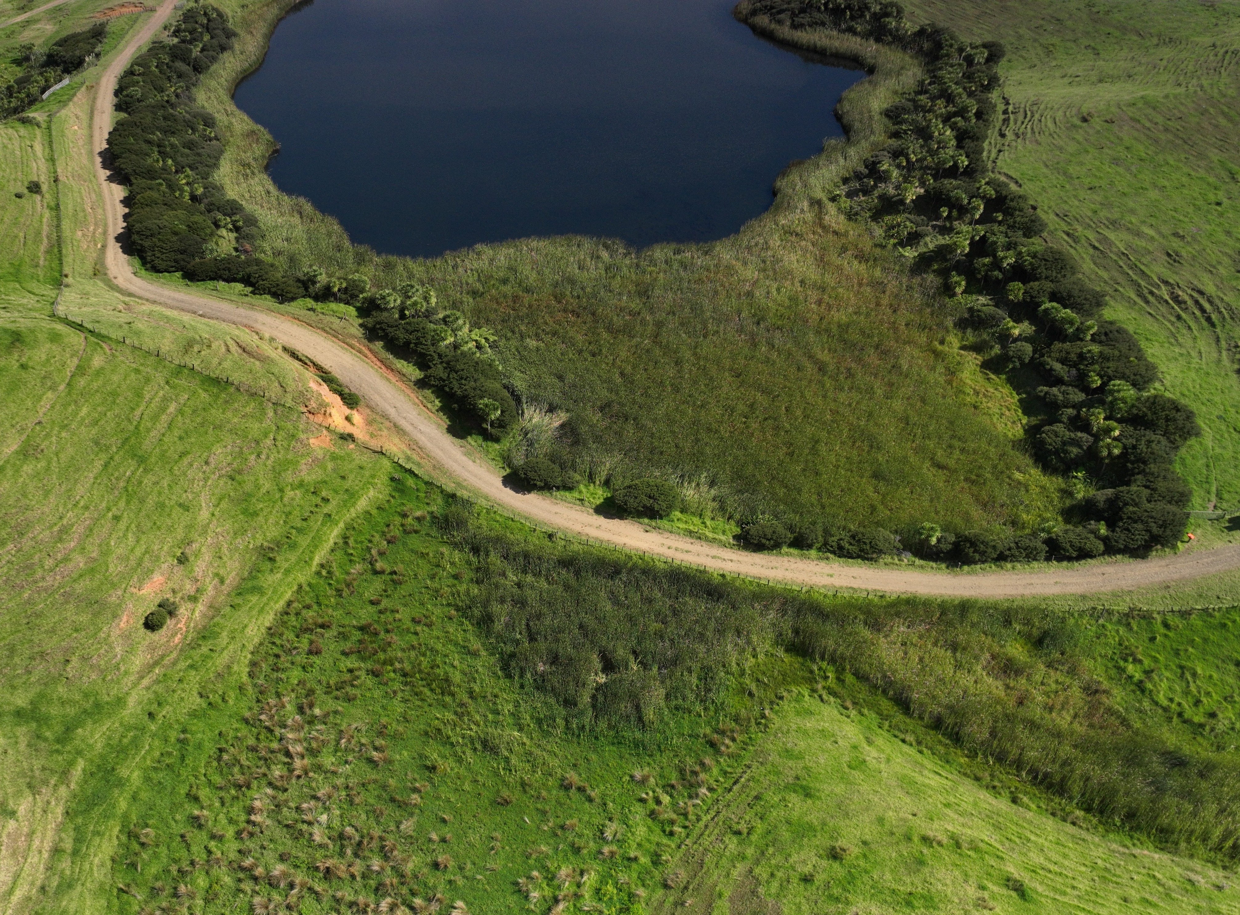 Aerial photos and video help track changes in ecosystem health over time.
Drones are used to support State of the Environment monitoring by providing aerial imagery and data that complement field-based monitoring and assessments. Aerial photos and video help track changes in ecosystem health over time. For example, we use drone imagery to map wetland extent, assess vegetation type and cover, track changes in water levels, and identify emerging environmental pressures. Drones may also be used to support river flow monitoring during high-flow and flood events, when conventional measurement methods can pose increased risks to staff and equipment. In these situations, aerial video can be analysed to calculate river flows while enabling monitoring to be undertaken safely and efficiently.
Drone use in the Waikato region
Waikato Regional Council is not responsible for approving drone flights/use in the Waikato region. If you're looking to fly a drone, the right contact depends on where you want to fly.
Civil Aviation Authority (CAA)
- Provides the rules for flying drones in New Zealand.
- Contact them for advice on regulations, safety, or certification.
- Civil Aviation Authority - Drones
Councils and government
- Contact the relevant council if you want to fly in parks, reserves, roads or council-managed land and the Department of Conservation to fly in national parks or public conservation land.