Flood Room status
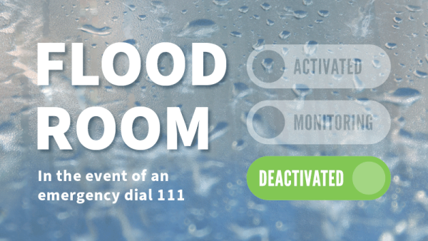
Flood Room is deactivated. For information on current river levels, flows and rainfall accumulations, please visit our Environmental Data Hub.
What the status levels mean
Flood room is deactivated
Updated at 11.00am on Monday, 30 March 2026
Situation
There are no severe weather alerts for the Waikato region, Flood Room is now deactivated.
We are in a period of settled weather until at least next Saturday (4 April). However, we are tracking a potential weather system reaching us from Monday, 8 April.
While we do not expect any significant rainfall this week, please still be vigilant around landslips.
Heightened landslide risk – be vigilant
With the recent severe weather across the region, rain increases the risk of land instability in and around hill and high-country areas, especially areas recently impacted in the January and February rainfall events.
Landslides can occur without any warning signs, even when the rain subsides. If you or people you know are in these areas, please be vigilant to signs of landslides and do not hesitate to act.
Warning signs:
- Small slips, rock falls, and sinking land, at the bottom of slopes.
- Sticking doors and window frames, which may mean the land is slowly moving under the house.
- Gaps where window frames are not fitting properly.
- Steps, decks, and verandas, moving or tilting away from the rest of the house.
- New cracks or bulges on the ground, road, footpath, retaining walls and other hard surfaces.
- Tilting trees, retaining walls, or fences.
- Water flowing out of a slope, like a new spring.
If you learn or suspect that a landslide is occurring, or is about to occur in your area, here’s what to do:
- Move quickly out of its path and stay away from it. Evacuate immediately if it is safe to do so. Your best protection is higher ground outside the path of the landslide.
- If you cannot leave safely, the side of your house furthest from the landslide is likely to be the safest location on your property.
- Take your pets with you and move livestock to safe paddocks if you can do so without endangering yourself.
- Alert your neighbours. They may not be aware of the potential hazard. It may save their lives. Help neighbours who need assistance to evacuate if you can do so without putting yourself in danger.
Be prepared
There are simple preparedness steps you can take now:
- Download the MetService App to your phone to receive weather alerts for your area.
- Add links to your local council and civil defence emergency management websites and follow their social media profiles.
- Check drains and gutters around your property to ensure water can flow freely.
- Secure outdoor items that could blow away or block drainage channels.
- Review your household emergency plan, including how you will stay informed if conditions change.
If an event does occur:
- Avoid driving through floodwaters and plan alternative routes if you live in a flood‑prone area.
- Contact local civil defence (or your council) if you observe any evidence of a landslip or flood impacts.
- Contact 111 if you are in immediate danger.
Our Regional Flood Response team continues to monitor forecasts closely and flood and drainage infrastructure - even when Flood Room is Deactivated - and will provide updates if the risk of heavy rain and flooding increases for the Waikato region. We also continue to liaise closely with civil defence, local councils and other agencies.
Visit our Environmental Data Hub for the latest river level and rainfall accumulations.
MetService forecast
There are no severe weather alerts for the region.
Changes to the weather can occur quickly, so please keep up to date with the latest forecasts. For national severe weather information, MetService is New Zealand’s only authorised provider of Severe Weather Alerts. Download the MetService App to your phone to receive weather alerts and access rain radar information for your area.
Thunderstorms
There are no thunderstorm watches or warnings for the regions. There is a possibility severe thunderstorm watches or warnings may be issued by MetService at short notice, so please be alert for and act on these without hesitation – do not wait for further analysis by Waikato Regional Council.
For information on preparing for and keeping safe during a storm, see the National Emergency Management Agency's Get Ready website.
Likely/potential Impacts
Rivers and lakes
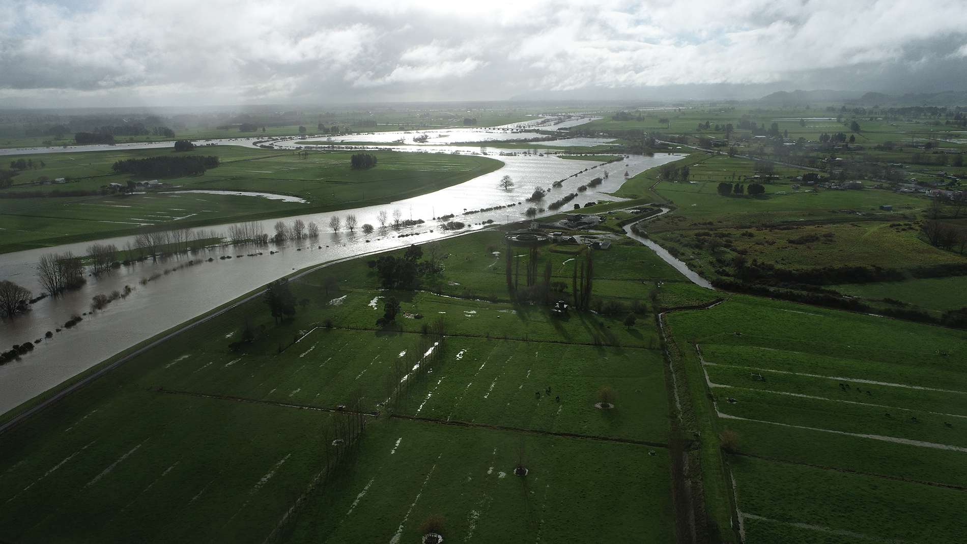
All rivers are or have receded from the recent rainfall.
Wind
No wind alerts for the region.
Coastal impacts
No coastal impacts.
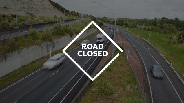
Land instability
Many catchments across the region remain impacted following heavy rainfall in January, February and March. As a result, areas that would normally experience land instability may be affected by any rainfall about the hill country and ranges.
Whilst it is not possible to predict exactly where or when landslides will occur, properties and infrastructure, including roads on or near steep slopes, cuttings or cliffs, are naturally most at risk. People in the area should remain vigilant for early warning signs of earth movement.
Contact local civil defence (or your council) if you observe any evidence of a landslip or flood impacts. Dial 111 if you are in immediate danger. Road users should plan ahead and keep up to date with the latest from their local council and the NZ Transport Agency Waka Kotahi. Our advice is to avoid travel unless absolutely essential during and immediately following heavy rainfall. The risk does not disappear once the rain has stopped and land instability can continue for many days after the event.
What we're doing
Waikato Regional Council flood and drainage schemes
All flood and drainage infrastructure is working as it should. Local flood response staff continue to monitor forecasts and assets to ensure a timely response, should it be required.
Waikato Regional Council telemetry
Our telemetry network continues to provide real-time data on rainfall and river levels and is monitored 24/7 by our Regional Flood Response team. Visit our Environmental Data Hub for the latest river level and rainfall accumulations.
Next update
This is the last update for the event.
New Zealand Flood Pics
New Zealand Flood Pics is a photographic archive of flooding for Aotearoa New Zealand which is currently hosted by the National Institute of Water and Atmospheric Research (NIWA). It's free for anybody to upload or download flood photographs and your contributions are welcomed.