Recovering fresh material from the sediment trap.
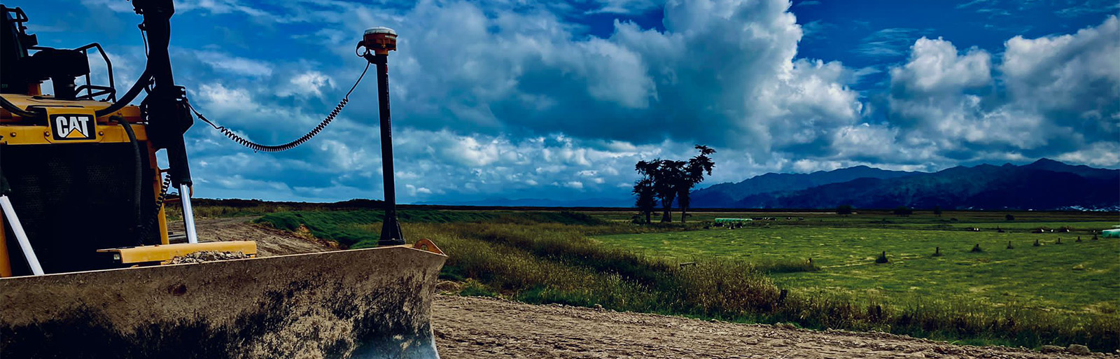
A Kiwi version of a dike has been future proofed for resilience against a possible sea level rise of half a metre.
An upgrade of Waikato Regional Council’s number one priority asset, the 15.5-kilometre-long east and west foreshore stopbanks in the Hauraki Plains, allows for adaptive resilience planning against sea level rise and increased flood risk.
The Dutch have a long history of building and maintaining dikes to hold back the sea and prevent flooding in low-lying places.
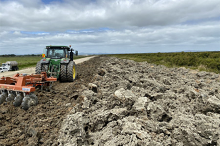
The captured sediment is dried and used to upgrade the foreshore stopbanks.
“These stopbanks are like the New Zealand version of the dikes in the Netherlands,” says Hauraki Zone Manager Karen Botting.
“They are holding back the sea every day.”
The $3.1 million upgrade, which had co-funding of $1.92 from Kānoa – Regional Development & Commercial Services as part of the Government’s COVID-19 Response and Recovery Fund, has taken four years to complete.
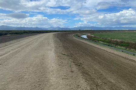
Widening the stopbank crest will enable future tops ups when needed.
It included the construction of a 6.5-metre-wide crest platform that would enable the council to make the stopbanks higher, if required in the future, to continue providing the 1:100-year tidal inundation protection they’re designed to give.
“The taller they are, the wider they need to be,” says Karen.
“They’re like a pyramid with a large footprint, built with a 3:1 slope, which creates the strength. This recent upgrade has future proofed them for the next step in climate change, so they can go higher without having to go wider.”
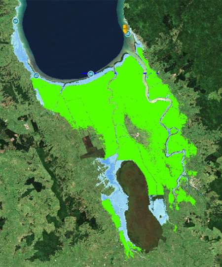
The defended area (green) against a level of service coastal event.
Currently standing at 3.5 metres, the stopbanks can be topped to become 4 metres in height. The current flood design height is 3 metres, plus half a metre of freeboard, which meets current climate requirements.
“If you stood on the foreshore stopbanks, you would see the land is lower than the sea,” says Karen.
“If they weren’t there, all that land would be inundated every day.”
Of all the council’s flood protection assets, these have the most risk because they protect the largest area of productive farmland and multiple towns.
Their protection extends as far south as Morrinsville and into three district territorial boundaries.
They are vital to the sustainability of the Hauraki Plains and protect the national roading network connecting Hauraki and the Coromandel Peninsula to the major centres of Hamilton, Tauranga and Auckland.
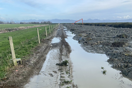
The council regularly upgrades or “tops up” the foreshore stopbanks due to natural subsidence of the land.
It uses suspended sediment from the Firth of Thames and Piako and Waihou rivers that gets captured in silt traps and is then dried.
This benefits the coastal marine environment, with the recent upgrade removing 170,000 cubic metres of sediment.
Significant carbon savings were also achieved through reduced haulage.
“With this project, we avoided 10,000 truck and trailer movements which saved an estimated $4 million dollars.”