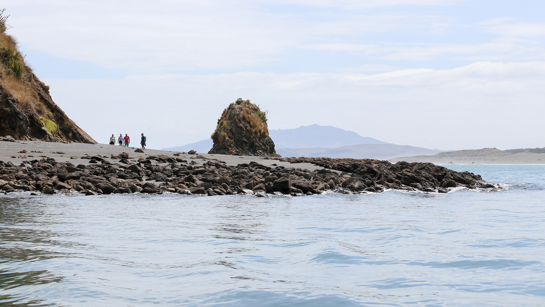
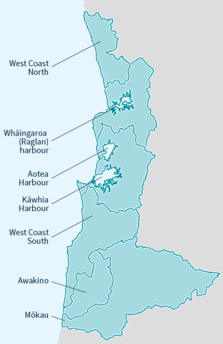
Healthy West Coast Zone catchments for community and environmental wellbeing.The West Coast zone covers a large geographic area of 425,835 hectares, or approximately 17 per cent of the Waikato region, it stretches from Port Waikato in the north, to Mōkau River in the south, and as far inland as Benneydale. The rivers and streams drain a large number of catchments to the Tasman Sea. The zone encompasses three district councils; Waitomo, Ōtorohanga and Waikato; and overall has a low population base of less than 3 per cent of the region’s population. Key settlements include Aotea, Āria, Awakino, Benneydale, Kāwhia, Marokopa, Mōkau, Piopio, and Raglan. |
|
West Coast Zone Plan
The West Coast Zone Plan provides the broad direction for the implementation of Waikato Regional Council's Integrated Catchment Management directorate activities within the Coromandel Zone.