Methods - how we monitor estuary health
Monitored estuaries
-
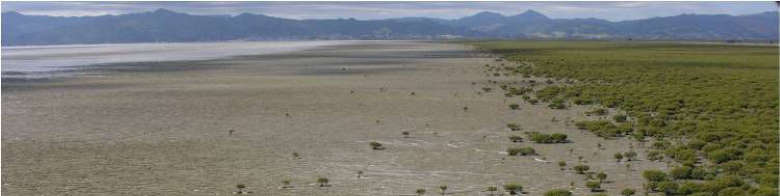
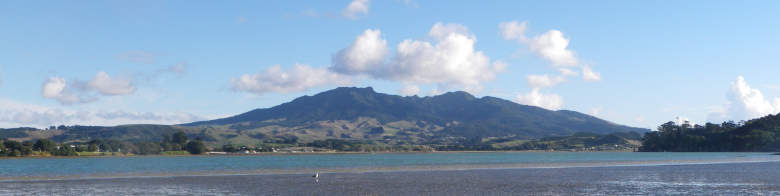
The Firth of Thames is a large compound estuary and a drowned river valley. It has a catchment area of 4194 km2 and is the primary receiving environment for the Hauraki Catchment. It is New Zealand’s largest shallow marine embayment. At its southern end several rivers (in particular the Waihou and Piako Rivers) drain into the estuary and at its northern end it opens into the Hauraki Gulf. The harbour is also used for a range of recreational activities, for commercial and recreational harvesting of seafood and aquaculture. The Firth of Thames is a site of cultural significance to Hauraki iwi.
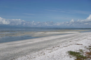
 The south-western shore of the Firth of Thames is recognised as an internationally important wetland under the Ramsar Convention (one of six sites within New Zealand). The Firth of Thames Ramsar site includes around 7,800 hectares of shallow estuarine waters, intertidal mudflats, mangrove and saltmarsh, and graded shell beach ridges. It is ranked as one of New Zealand’s three most important areas for shorebirds.
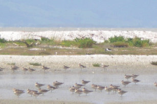
The Miranda Wildlife Refuge and nearby wetlands, which make up a significant portion of the Ramsar site, are a seasonal home to thousands of wading birds and shorebirds. From spring onwards, large numbers of migrant birds, particularly godwits and knots, begin arriving to feed. Many of these birds will have spent several weeks travelling south from breeding grounds as far away as Siberia and Alaska. In autumn these birds fly north again. The refuge is also an important site for local species, such as the pied oystercatcher, New Zealand dotterel, variable oystercatcher and black-backed gull.
 The Firth of Thames is also an important habitat for a range of common inshore fish species, many of them of cultural, recreational and commercial value. These include snapper, kingfish, jack mackerel, red gurnard, sand flounder and yellowbelly flounder. The Firth is also a nursery area for juvenile snapper, spotted dogfish, and hammerhead shark.
The Firth of Thames is under increasing pressure from human activities, including marine farming and the input of terrigenous sediment and nutrients due to the intensification of farming and urban development within the surrounding catchment.
 Whaingaroa (Raglan) Harbour is a tidal lagoon and drowned river valley, with intertidal sand and mudflats making up about 70 per cent of its area. The catchment area for the harbour is 523 km2.
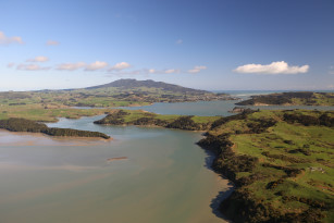 Whaingaroa (Raglan) Harbour is an important habitat for resident, rare and threatened, and international migratory bird species. The critically endangered Maui’s Dolphin has been recorded in the harbour, although it is not known how much this species uses this area. The harbour is also used for a range of recreational activities, for commercial and recreational harvesting of seafood and is a site of cultural significance for Tainui iwi.
 The Whaingaroa Harbour Care group was formed to improve the quality of the water entering the harbour by replanting coastal and stream margins. They have planted more than 2 million native trees in the harbour catchment since 1995.
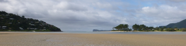 Tairua Harbour is a tidal lagoon-type estuary located on the east coast of the Coromandel Peninsula. The main river entering the estuary is Tairua River. During high rainfall events flash flooding can occur 3-5 times per year. The Harbour has a total area of 6km2, with intertidal sand and mudflats making up approximately 51% of its area. It is sheltered from the sea by the Pauanui sand spit and Paku Mountain. The catchment area for the harbour is 280 km2.
 Vegetated habitats occupy around 39 per cent of the entire area of Tairua Harbour. Seagrass beds make up more than half the total vegetation cover, dominating the intertidal flats throughout the middle reaches. Mangroves and saltmarsh are also found in the harbour.
 Tairua Harbour also provides habitat for rare and threatened wading and coastal bird species (New Zealand dotterel, banded dotterel and reef heron), and important whitebait spawning habitat. The harbour has high recreational use and is used for commercial and recreational harvesting of seafood.
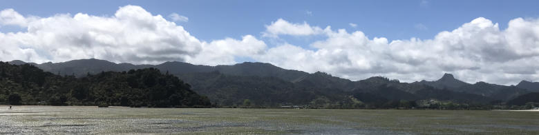 Coromandel Harbour is a large coastal embayment type estuary, located in the Hauraki Gulf on the west coast of the Coromandel Peninsula. The harbour is sheltered from the sea by peninsulas to the north and south, and islands to the west, the largest being Whanganui Island. The harbour has a total area of 25.4 km2, is shallow and dominated by large intertidal sand and mudflats making up approximately 21% of its area. It has a relatively small catchment area of 60 km2.
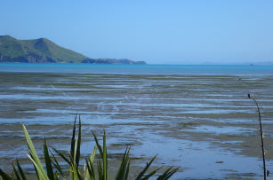 Coromandel Harbour has extensive seagrass beds, along with significant mangrove stands and saltmarsh habitats. The harbour has high recreational use and is used for commercial and recreational harvesting of seafood. Many oyster farms are located within the harbour (intertidal areas) and mussel farms near the harbour entrance.
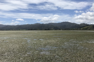 In the past Coromandel Harbour received a high amount of sediment and nutrients from mining and land clearance in the catchment. The harbour is currently under increasing pressure from human activities within the harbour (marinas, jetties, marine farming), around the harbour margin (urbanisation) and further into the surrounding catchment (forestry, land modification/farming). These activities in the catchment are contributing to high levels of sediment entering the harbour.
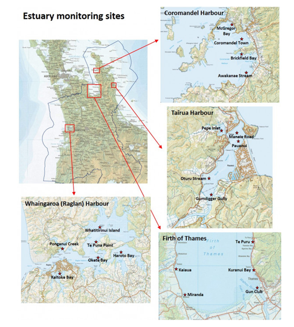


 At each monitoring site on each sampling occasion, five bulked surface sediment samples (5cm diameter, 2cm deep core) are collected from random locations within a 100m by 100m monitoring plot. Five replicate surface sediment scrapes are also collected at each monitoring location for analysis of microalgal biomass . Each sample is stored frozen and then analysed for a number of chemical and physical properties. These properties are:
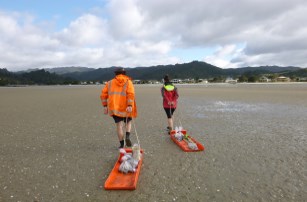 At each monitoring site (except Te Puru in the Firth of Thames) between two and six concrete plates (30 cm x 30 cm) have been buried at a known depth beneath the sediment surface. During each sampling event the depth of sediment over these plates is measured by inserting metal (knitting) needles into the sediment above the plates and measuring the length of needle immersed in the sediment. This provides an indication of sediment accumulation onto the sand or mudflats at the monitoring sites.