The Waikato region's coastal and marine environment includes the west coast from Mokau in the south to Port Waikato in the north, and on the east coast, the Firth of Thames and the Coromandel Peninsula. From the high tide mark out to 12 nautical miles offshore, it covers over 10,000 km2 in area, includes about 1,150 km of shoreline, and the water depth ranges from 0 to over 500 m.
Our coastal habitats and ecosystems are diverse and highly valued for recreational, commercial, and cultural reasons. Our east coast is part of the Hauraki Gulf Marine Park which includes Te Whanganui a Hei Marine Reserve and the Firth of Thames RAMSAR site (a wetland of international importance). All our west coast marine area is covered by the West Coast North Island Marine Mammal Sanctuary.
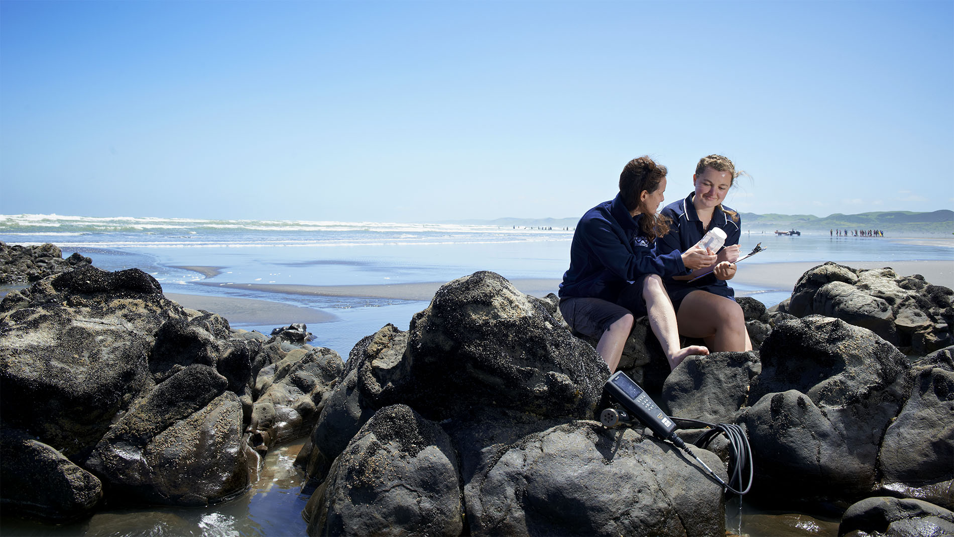
Our coasts are national treasures, but they are threatened by loss of natural character and biodiversity, and degraded water and sediment quality. Waikato Regional Council regularly monitors and reports on our region's coastal resources and how they are changing.
Find out more about the research and monitoring we do throughout the Waikato region.